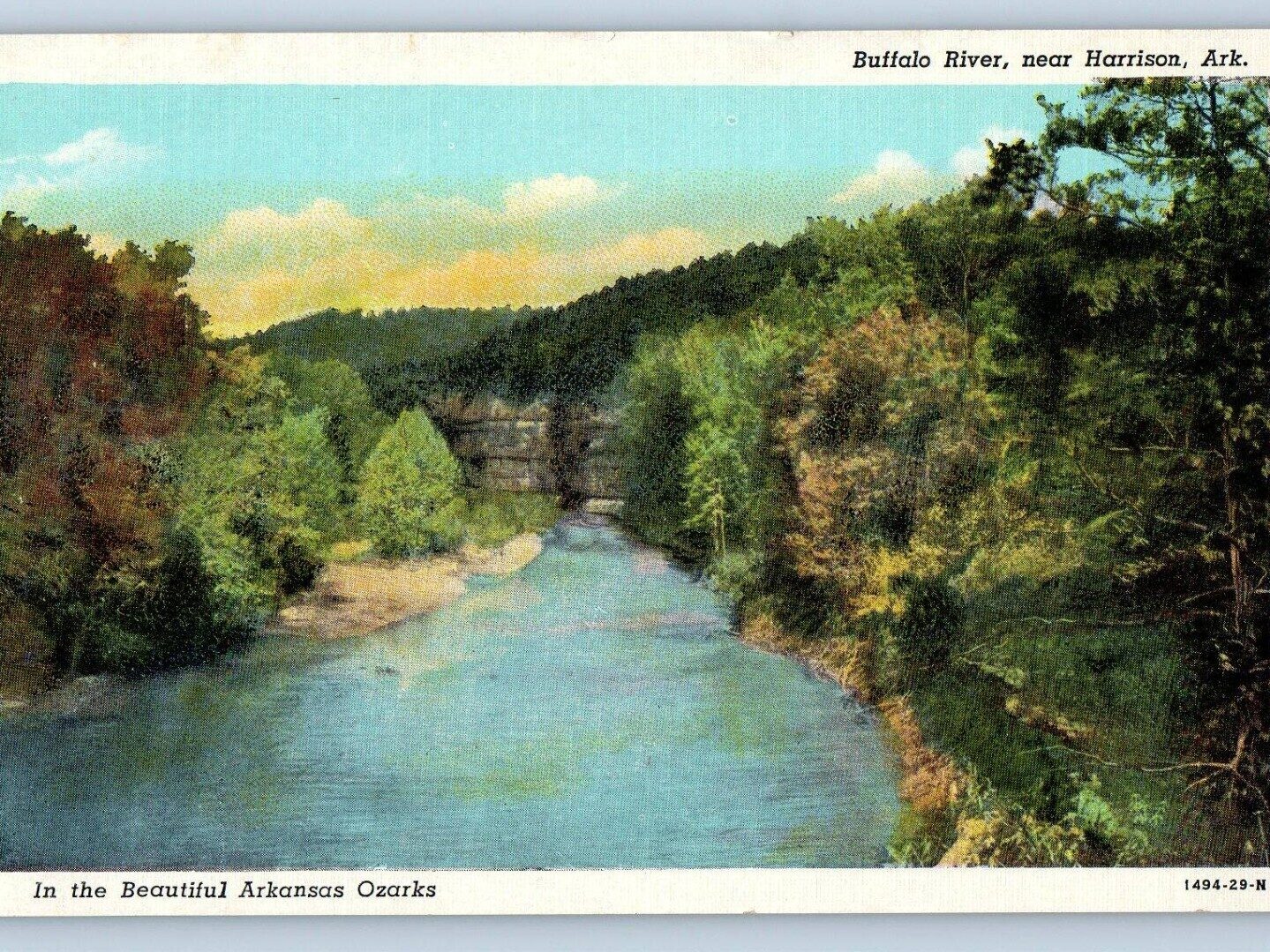
The Buffalo National River in Arkansas was established March 1, 1972, as the first national river. It is 153 miles total, with 135 miles inside Buffalo National River, free flowing and undammed. Its headwaters are in the Boston Mountains, and it flows to the White River at Buffalo City. It runs through Newton, Searcy, Marion, and Baxter counties. Access points and river miles are marked on the map below.
For current conditions, contact the Tyler Bend Visitor Center at 870-436-2502. River data on this page is collected from other sources, including the USGS gauges below. Conditions change constantly, so check the live gauge and the weather before you go.
Water Gauge
Note: Never float on high water! If water is brown or has floating debris stay out of the water. Flow guidance (general guidance, not official). Too low means dragging in shallow spots. Too high means fast, murky water, stay off the river.
River Map
Note: A Creek/River's environment will change constantly. Always use caution and follow all safety procedures when floating.
Trip calculator
Find a trip
Choose a start and a finish to see the river miles.
Buffalo National River Access Points (Upstream to Downstream)
- 16.4 – Gray Rock Shoal (hazard, approximate location, not an access point)
- 57.5 – Woolum Falls (hazard, approximate location, about mile 57 to 58, not an access point)
North Maumee, at mile 88.5, is a single-source, provisional location. Buffalo City, at mile 131.4, is the end point of this list and is on the White River. Ponca, at mile 6.0, and Erbie, at mile 22.3, each have a low water bridge hazard at the access point.